


The view from the top
I enjoy trying to fathom out the history of an area from clues around me. The recent history of La Gomera seems to be depopulation and changing agriculture, from subsistence to cash crops. We’ve passed loads of high mountainous terraces on our walks, tiny slivers of ground, some about the size of a hallway rug, which in spite of all the effort it must have taken to build them are now just overgrown with native wild plants. I reckon a lot were for cereals, and became completely pointless as soon as container ships could bring loads of cheap flour over from the mainland. Bananas and other subtropical fruit seem now favoured, and they grow more in the valleys. Even so, it doesn’t look like there are anywhere near as many people making a living from the land as there used to be.
The depopulation is shown in the ruined and empty buildings, both in the countryside and in Hermigua. With so few sites flat enough to build on, I doubt the Canarians just build new houses when the old ones crumble, as they did in Transylvania. So there must be a lot less population than there used to be. Whether they’ve all just hopped over the channel to serve the tourists on Tenerife or gone all the way to Spain or South America to make their fortunes I cannot tell (UPDATE: read up about it, apparently they all left to look after the package tourists on Tenerife!).
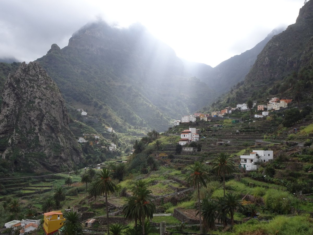
The bottom – Hermigua valley
The descent from Garajonay to El Cedro through laurisilva forests was pleasant, so was a cafe cortado at the restaurant there, but the steep rocky downhill slog back to Hermigua was just a bit short on views to feel worthwhile. I was also a bit distracted as the relentless downhill pounding had completely buggered up my knee – all I could think was, ugh, maybe this is actually gonna be our last hike on La Gomera too!
Enjoyed some powerful goat in red wine and some decent rabbit at another restaurant in Hermigua, but haven’t found anything to draw us away from the round-the-corner convenience of Telemaco. My knee (and our hotel room) now reeks of Deep Heat.

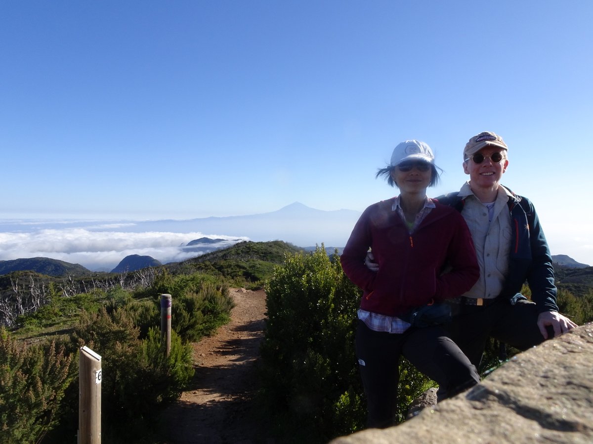
El Teide
Related Images: